A beautiful Spring day means lunch al fresco (“im Freien,” auf Deutsch)!
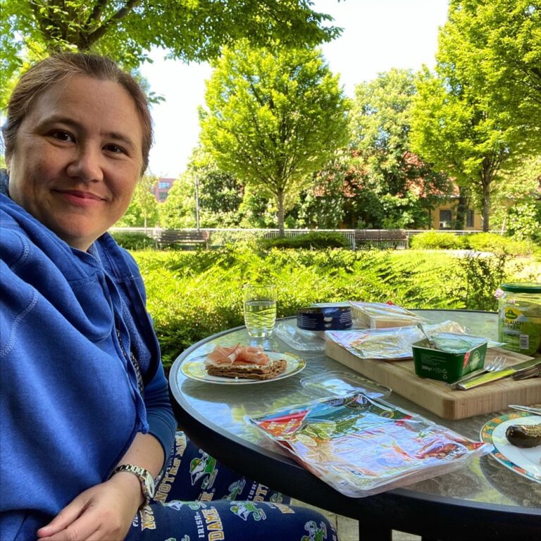
A beautiful Spring day means lunch al fresco (“im Freien,” auf Deutsch)!
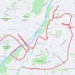
Ever heard of GPS art? I created a massive artwork in honour of next week’s AWS Summit EMEA. If you want to learn about cloud computing, AIML and more, you can register for free here: https://t.co/0m8Pf8uc51
And yes, I really did make the AWS logo! 😅🚴♀️ https://t.co/mDFmDSpDfm https://t.co/75sKfoEg02
@MichelePlayfair Hilariously, when I sent around my first cut of the video (without saying “GPS art” first), half the people I showed it to had no idea wtf I was doing. They thought it was just, like, a training montage. 🤣
For the curious, there doesn’t appear to be an app for automatically generating GPS art routes. I ended up just spending 45 min scrolling around Google Maps trying to fit it manually. So yeah, if somebody wants to solve that problem, that’d be awesome…
@vertis It’s one of things where once you’ve seen it, you can’t un-see it. It was driving me bonkers that some folks just couldn’t!
@vertis OH GOOD LORD yeah I’m glad we retired that one a few years back. That would’ve killed me. 😂
@vertis That was my fallback. We live near the Theriesenwiese (the big showgrounds where they hold Oktoberfest), so I figured in a pinch I could do it there. But riding through the city is a lot more fun!
@vertis But the effort was part of it! It’s performance art, Luke!! 😛
Blog post: My first ever GPS art! If you want to see how I planned out the @awscloud logo route, just head here: https://t.co/IdPFquKVEI https://t.co/2K9EFlPeVf
@Osterjour @Ryte_EN Congrats Markus!!
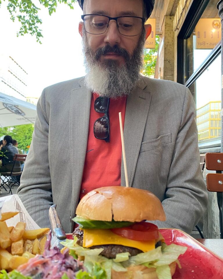
A positively Antipodean amount of salad on that cheeseburger… (but no beetroot.) 🍔 @ Café Westend https://t.co/997WMQVuyo
Ever heard of GPS art? I created a massive artwork in honour of next week’s AWS Summit EMEA. If you want to learn about cloud computing, AIML and more, you can register for free here: https://amzn.to/3fbS1wA
And yes, I really did make the AWS logo! 😅🚴♀️ https://www.strava.com/activities/5301283215
A positively Antipodean amount of salad on that cheeseburger… (but no beetroot.) 🍔

The AWS Summit EMEA is coming up next week, and a few of my colleagues created funny videos to drum up excitement. Seb documented his preparations, as did Darko, but a bit more retro. Isa did a super cute one with her pupper Jago, a “Solutions Barkitecht”. 😂
My first impulse was to do something similar for mine, but of course include myself surrounded by knitting projects. But the more I thought about it, the more boring that felt. I knew I really needed to raise the level of creativity.
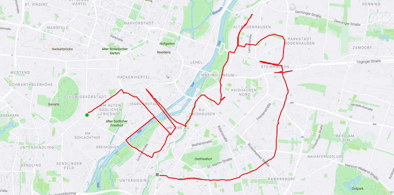
And then I had a flash of inspiration – GPS art! This is where you run/walk/cycle a particular path and the GPS path in your tracking app draws a picture. What if I could cycle my way across the AWS logo?? I immediately started searching for an app, hoping there was a way to automatically plan out a route. But guess what? Tech has not cracked this particular problem yet. My only option was to do it the hard way.
I opened up Google Maps and realised immediately I was going to have a problem. Munich is an old city, and it doesn’t have a nice rectangular grid for its streets. It’s also got the Altstadt (the medieval city center) and a river running right through it, all of which really limited my options. I decided to focus on looking for something suitable for the smile part. It probably took me half an hour to find a nice big curving bit to the south-east. I used the drawing tools in Google’s “My Maps” to draw on the map and plot out the rest of the logo. Not too bad! All I needed then was to join it up into an actual cycling map that I could follow.
For that I used Strava, which I’ve been using to track my cycling for a few years. It has a feature where you can create your own Routes and it will help plot out the path. I ended up creating it as a “walking” route because that gave me finer-grained control over which streets I could take. (When you select “cycling,” it will push you towards cycleways – which is normally great, but for this I was willing to forego that.) It turns out this caused me one slight issue, which I’ll get to shortly. But pretty quickly I had my route, as well as an estimated distance – 21.8km. Yikes! And that didn’t even include getting from the start/finish to my house. I knew this was going to take me a couple hours to complete.
On the day of the ride, I had the Snook film me getting ready. I filled up my hydration backpack and wore my new padded cycling pants. Then I was off! I have a mount for my iPhone on the handlebars, which allows me to easily see the map as well as film footage of both the road and my face as I’m riding. Everything went pretty well, until…
Yeah. My route had me turning left… onto that bridge way above my head. There were stairs, but at that point I was in no state to drag my bike up there. This is the downside to using a walking route! So I had to improvise a bit, going down a side-street and walking my bike along a path to get back onto the route.
The only other mishap was a wrong turn at the base of the second point on the “w”, which I thankfully caught quickly. Unfortunately Strava doesn’t allow you to remove points afterwards, but it was small enough that it doesn’t really detract. On the upside, I also discovered that when you “pause” tracking on Strava and then “un-pause,” it will draw a straight line between those points. I realised I could use this strategically to create diagonals and smooth out some of the rougher bits along the “s”.
As I got back to the house, I messaged the Snook to come out and meet me so he could film one final bit of me arriving and saying “I’m getting ready for the AWS Summit. Are you?” I was pretty puffed at that point, and the hydration pack was completely empty. 😅
So here’s the final cycling workout!
Then I used iMovie to cut together all the footage I’d created, along with a final screenshot of the map. I was really pleased with it and sent it to a few folks. One of them loved it and was really enthusiastic, but the other reactions were muted. It was only when I probed them further that I realised they didn’t get it! They weren’t seeing the logo at all. Once I pointed it out they could see it, but without that context it just looked like I was riding around Munich aimlessly for no reason. 😂 So I had to do a lot of explaining, including for the lovely marketing folks who cut together the final version with music and graphics.
Anyway, here it is! My first ever attempt at GPS art. And if you’d like to attend the AWS Summit next week (it’s free!), you can register here: https://amzn.to/3fbS1wA.
A positively Antipodean amount of salad on that cheeseburger… (but no beetroot.) 🍔